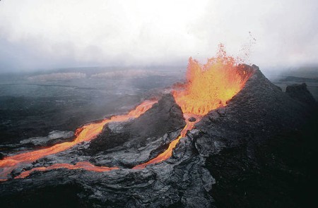
April 24, 2020 – Two days ago the journal Nature published an article entitled “Extreme rainfall triggered the 2018 rift eruption at Kīlauea Volcano.” It described how several months of heavy rain over the Big Island of Hawaii was followed by a sequence of eruptions from the Kilauea Volcano. Were the two events correlated or coincidence?
In reading the article it got me thinking, if a volcanic eruption can be triggered by rainfall, then why not an earthquake? And sure enough the scientific literature includes articles that associate heavy rainfall with earthquakes in specific types of terrain.
The 2018 eruptions from Kilauea were described as extraordinary, a phenomenon not seen in 200 years. Rifts opened up on the surface followed by explosions, collapses and lava flows. And associated with the eruption there was a 6.9 magnitude earthquake.
What kind of rainfall can cause a volcano to blow? In the Kilauea event it was record rainfall over several months followed by a significant 24-hour downpour prior to the eruption. The rainwater made its way deep into the subsurface, as much as 2.9 kilometers (1.8 miles). Pore pressure rose in the subsurface which weakened the protective cap of rock lying above the large magma pocket allowing it to rise upward.
The Hawaiian researchers then looked at Kilauea’s past and were able to correlate historic eruptions with similar rainfall events. This led to speculation about ice-covered volcanoes and the impact global warming could have in melting these alpine snowpacks and glaciers leading to future eruptions.
Jamie Farquharson, at the University of Miami, the principal author of the article in Nature believes that rainfall may have been one of the triggers in the Mount Saint Helens eruption in 1980. He is quoted in the Guardian as stating, “Critically, as our climate continues to change, the occurrence of prolonged periods of extreme rainfall is predicted to increase in many parts of the world, increasing the potential for rainfall-triggered volcanic phenomena.”
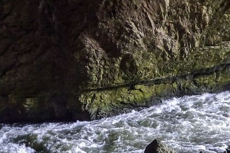
The Kilauea event included an earthquake, but earthquakes following heavy rainfalls, not associated with volcanoes, have been described in areas of karst terrain. This type of landform is found where water from the surface drains underground and features, sinkholes, caves, and other odd rock formations. About 8% of the Earth’s surface is covered by karst terrain. The most common rock is limestone, a carbonate mineral that dissolves when slightly acidic rain strikes it creating carbonic acid which dissolves the rock.

As carbon dioxide (CO2) levels rise in our atmosphere from anthropogenic climate change, human activity may prompt the growth of karst rock formations both on the surface and below. On Earth, many of the karst landscapes are found in drier areas of the planet, with many more found in area of high rainfall and anywhere you find caves.
So why earthquakes in karst terrain? Rain falling on non-karst landforms tends to be uniform in distribution and finds channels on the surface that deposit it in creels. rivers, and lakes. But not with karst terrain? The rain that falls on these rock formations quickly enters the underground through the sinkholes and subsurface pockets formed by the topography. In mature karst landscapes, the underground will have hundreds of interconnected fractures, fissures and cavities linked to the surface. Rainfall is immediately channeled below where it increases water pressure in the subsurface rocks and acts as a lubricant to trigger earthquakes.
Back in April of 2008, the Geophysical Journal International published a study of three rain-triggered seismic events that showed the same kinds of pressure being exerted on subsurface areas as was found in the Kilauea eruptions. The three earthquakes occurred in Germany, France, and Switzerland, all happening after heavy and prolonged rainfalls.


